Recommended Barricades
These are listed from Karl & Morse proceeding north to Karl & 161. Actual barricade angles are not known. Distances were calculated using the measure distance feature on Google Maps.
1. On Morse Road, eastbound, taper off 2 left turn lanes.
Google Maps 70′
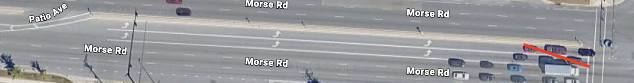
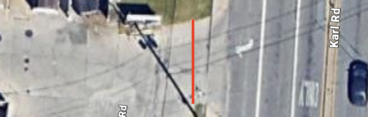
2. On Morse Road, westbound, taper off right turn lane.
Google Maps 32′
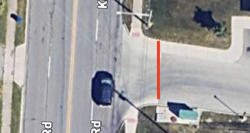
3. @ Morse, 5 lanes, type 3
Google Maps 65′
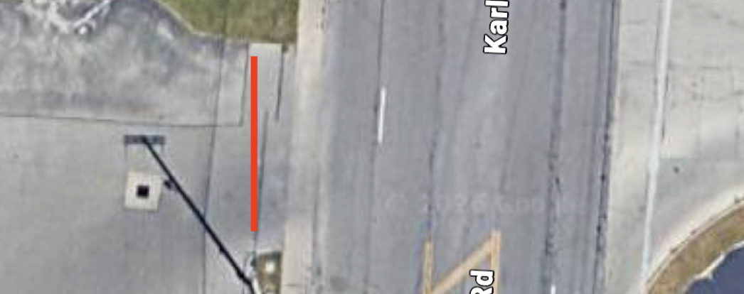
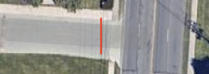
4. Flowerama, 2 lane driveway, type 1
Google Maps 28′
5. Marathon, Karl Road exit, right turn only (to go south on Karl), type 1
Google Maps 26′
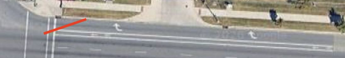
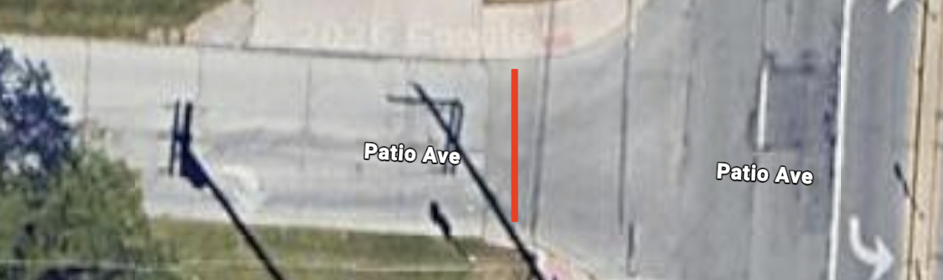
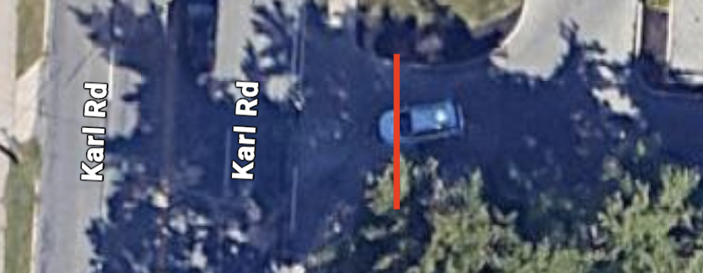
6. Patio Ave, 2 lanes, type 3
Google Maps 24′
7. Brakes 4 Less, 2 lane driveway, type 1
Google Maps 24′
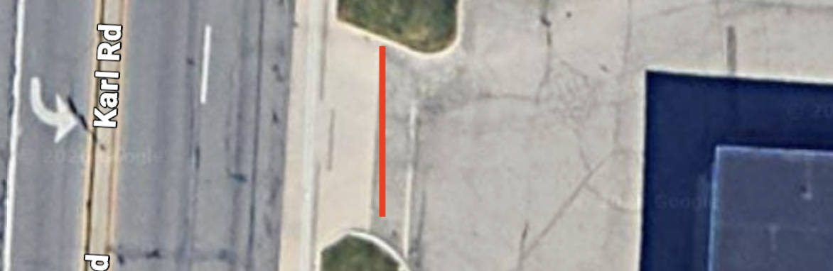
8. Patio Shopping Center south exit, 2 lane driveway, type 1
Google Maps 30′
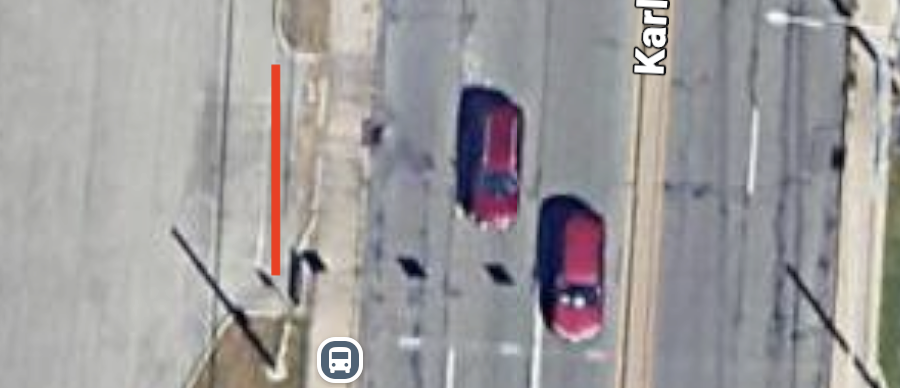
9. Patio Shopping Center north exit, 2 lane driveway, type 1
Google Maps 40′
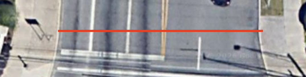
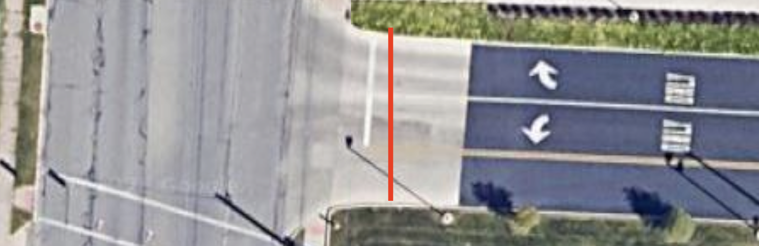
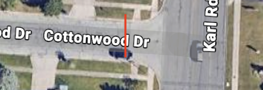
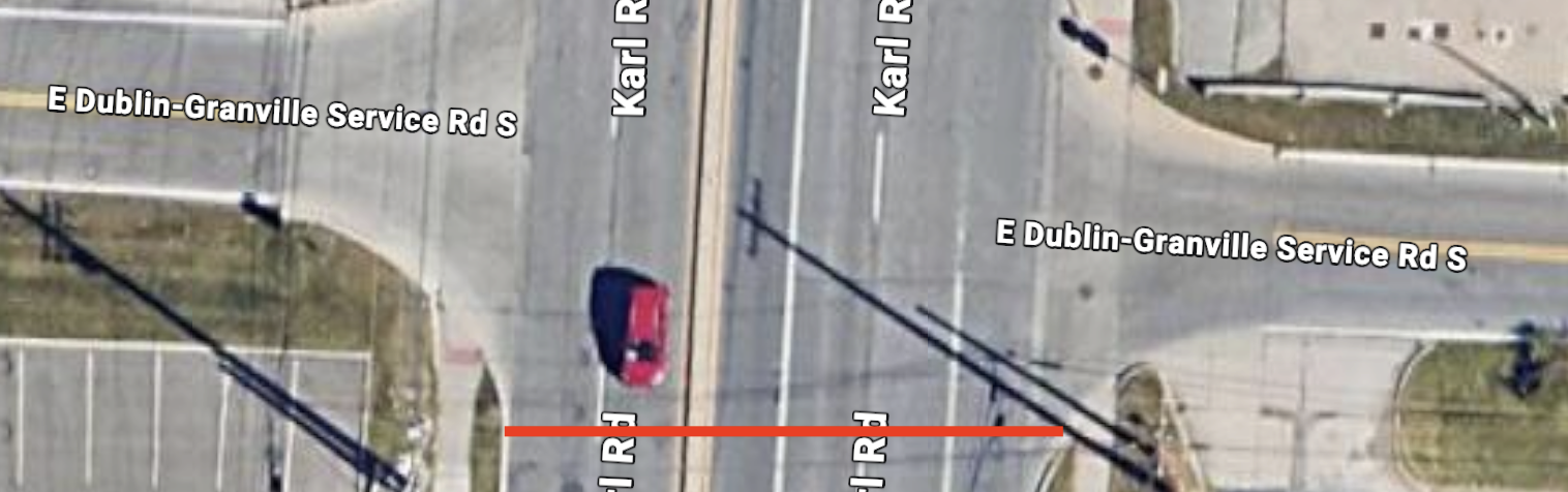
10. Karl Road @ Morse Road Frontage St, parade entrance, the 4 lanes on Karl get type 3, the 2 lanes on the service road get type 1
Google Maps 50′ + 32′
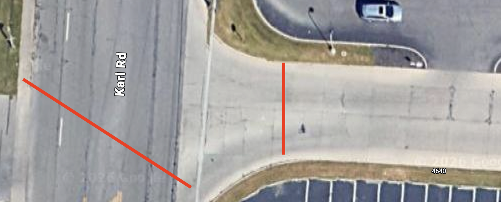
The northbound barricades will have to be moved to allow any large participants (fire trucks, ambulances, …) parked on Karl south of these barricades to enter the parade route. These emergency vehicles will need any barricades in their way moved so they may respond to an emergency before and during the parade.
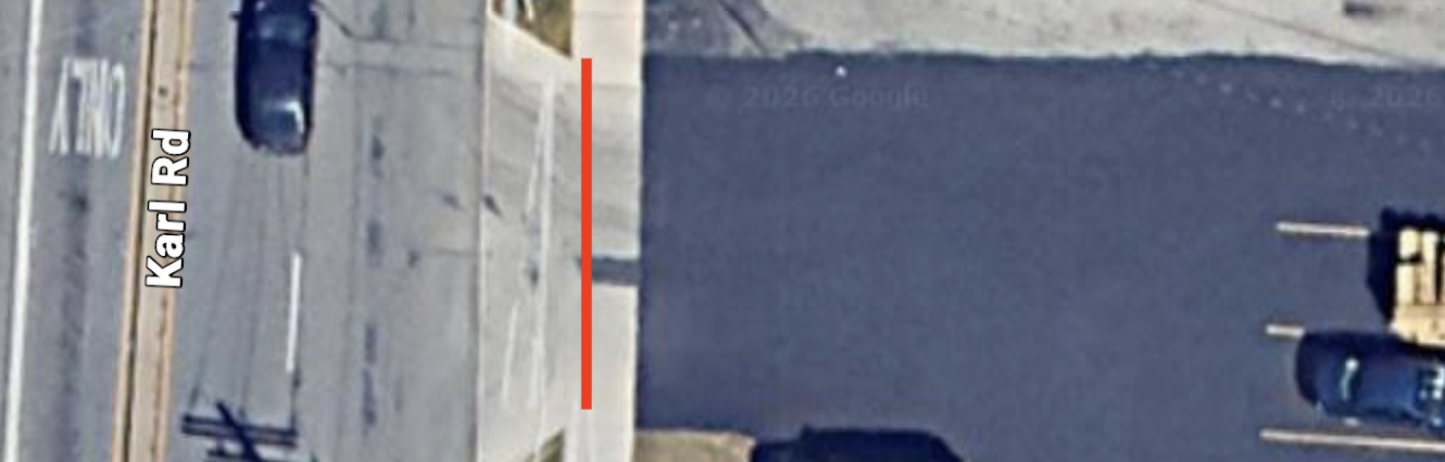
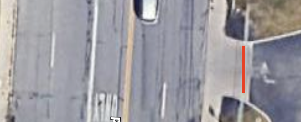
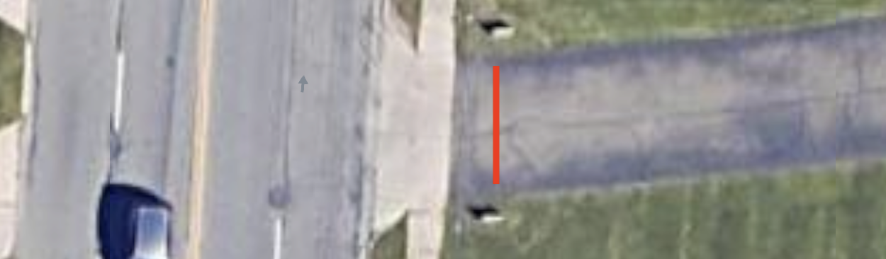
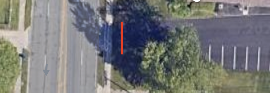
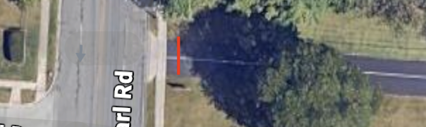
11. Huntington Bank, 2 lane driveway, VIP parade entrance, type 1
Google Maps 17′
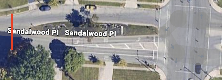
22. Sandlewood Pl, east side, past island, wide enough to be 4 lanes, type 3 between type 1’s
Google Maps 47′
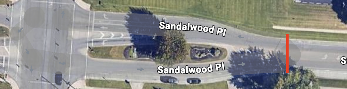
23. Sandlewood Pl, west side, past island, wide enough to be 4 lanes, type 3 between type 1’s
Google Maps 50′
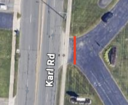
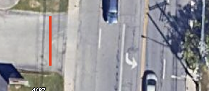
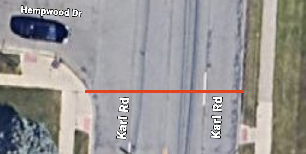
32. On Karl just south of Hempwood, 4 lanes, type 3. Some vehicle only parade participants (emergency vehicles) may opt to continue north on Karl rather than turning into the Karl Road Baptist Church parking lot.
Google Maps 44′
33. Just south of Granville center exit, 5 lanes, type 3. Northbound parade participants will need to be let through this barricade.
Google Maps 67′
This link is only accessible if you have the site address.